

Geospatial Technology
Current regional economic contribution
$700M per year
by 2033-34 - Projected economic value
$1.46B per year
What is Geospatial?
Geospatial technology helps businesses understand what is happening where it is happening and what to do next. Geospatial means location–based information, maps, satellite imagery, sensors, drones and positioning systems to make better decision.
- Maps and spatial data (land, assets, infrastructure, boundaries)
- Satellite and Earth Observation data ( weather vegetation, water, heat, movement)
- On-ground data from sensors, machinery and surveys
- Business data such as schedules, costs, risks and outputs
When combined this information gives a clear, real-time picture of sites, assets and environments helping businesses plan better, respond faster and reduce costly mistakes.
Location based insights are driving productivity, reducing risk and generating real economic returns across the region — right now.
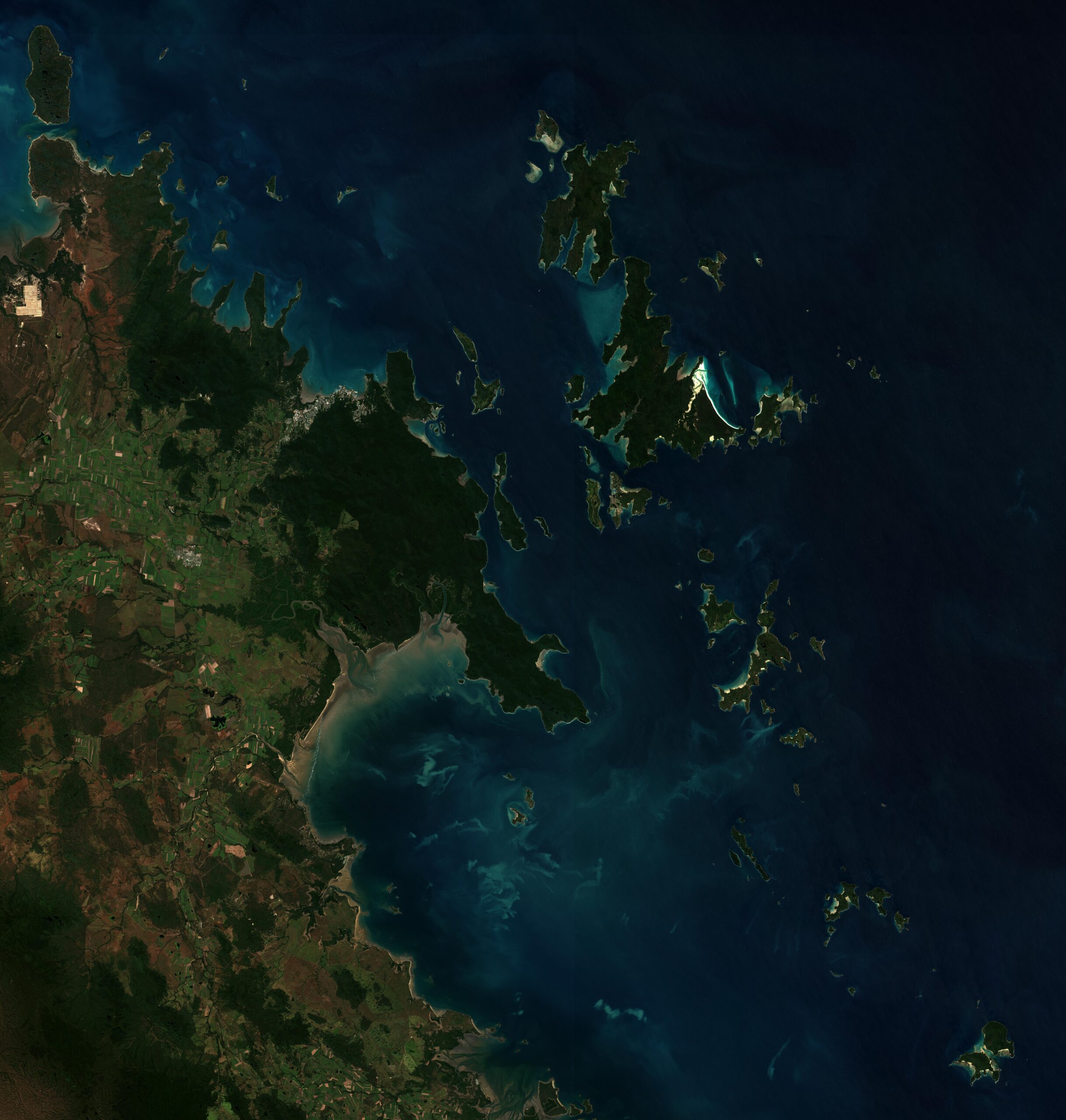
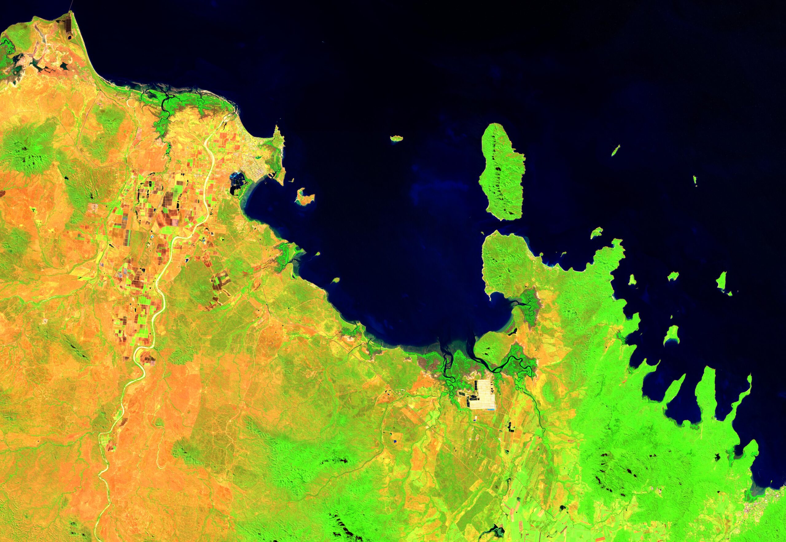
Geospatial and Earth Observation technologies are no longer emerging concepts. They are already embedded across the Greater Whitsunday economy, supporting smarter use of land, infrastructure, natural resources and built assets.
The Greater Whitsunday Geospatial Hub Economic Impact Assessment shows that geospatial technology is contributing around $700 million per year today, with economic value expected to grow to $1.46 billion per year by 2033–34.
This growth is being driven by efficiency, better decision making and risk reduction across key regional industries— not by scale alone. For businesses of all sizes, geospatial technology is improving productivity, lowering costs and strengthening long term economic resilience.
How Earth Observation Works
How geospatial creates economic value
Across the region, economic returns are being realised through:
- Smarter decisions — clearer visibility across land, assets, operations and supply chains
- Reduced risk — earlier identification of environmental, operational and compliance risks
- Higher productivity — more output from existing assets, sites and resources
Rather than relying on growth through size or expansion, geospatial supports better use of what already exists.
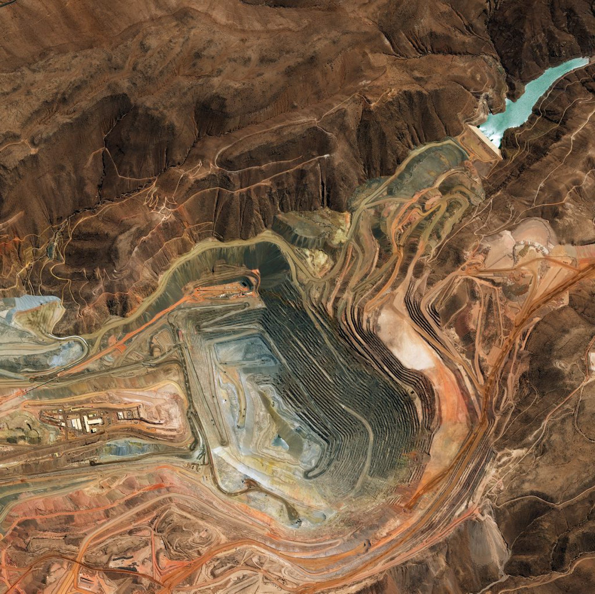
How Geospatial is delivering value across key regional industries

Agriculture and Aquaculture
Up to $1 billion in additional regional value by 2034 Across farming, fisheries and aquaculture, geospatial technology is supporting higher productivity and resilience by: • Improving precision and input efficiency through monitoring soil condition, crops, water quality, biomass and weather • Reducing risk and losses with early detection of pests, disease, water stress and adverse weather events • Supporting regulatory compliance and sustainability using verifiable land, water and environmental data These insights enable better day to day decisions while protecting long term environmental and economic outcomes.
Biomanufacturing
Geospatial and Earth Observation data underpin emerging biomanufacturing opportunities by: • Optimising site selection and facility design using spatial data on land availability, infrastructure and feedstock proximity • Securing supply chains through monitoring biomass availability, yield and quality • Tracking emissions and ecosystem impacts to support compliance, certification and market access Together, these capabilities strengthen the region’s role in the global biomanufacturing ecosystem while improving investor confidence and operational efficiency.
Decarbonisation and Energy Transition
Geospatial technology plays a critical role in decarbonisation by: • Accurately measuring and managing emissions across agriculture, mining and energy systems • Identifying and optimising renewable energy sites, including wind, solar and pumped hydro • Supporting low energy design and infrastructure planning through digital twins and spatial modelling Value is created by reducing emissions related risks, optimising infrastructure investment and supporting long term regulatory compliance.

Tourism
$6–12 million in added value over the next decade In the Greater Whitsunday, geospatial technology supports sustainable tourism growth by: • Improving planning and visitor management through location specific insights • Enhancing visitor experience and safety with accurate maps, routes and climate data • Protecting environmentally sensitive areas by identifying risks and managing impacts This supports long term destination sustainability while improving the quality and resilience of visitor experiences.

Construction and Urban Infrastructure
Up to $400 million in additional value by 2034 Geospatial technologies improve productivity across the built environment by: • Reducing design errors and rework through accurate surveying, terrain models and digital twins • Improving construction planning and sequencing before work begins on site • Supporting long term asset performance through location based maintenance, monitoring and risk data These gains reduce cost overruns, improve build quality and extend asset life.

Aerospace and Advanced Aviation
Up to $642 million in additional value over time Geospatial capabilities underpin aerospace and aviation innovation by: • Enabling drone and uncrewed aircraft operations across agriculture, mining and construction • Supporting air traffic planning and infrastructure development in a growing regional airspace • Strengthening sovereign capability through satellite, positioning and space enabled services These technologies extend the reach and effectiveness of geospatial systems across multiple industries.
The economic advantage: efficiency, not scale.
For SMEs
Across all sectors, geospatial technology delivers its economic value by improving efficiency, risk management and decision quality — helping businesses do more with what they already have.
For SMEs, this means:
• Smarter planning
• Fewer surprises
• Reduced rework and downtime
• Faster responses to changing conditions.
Location based insight turns everyday decisions into measurable business performance gains.
How geospatial helps businesses act sooner
Geospatial tools help businesses see what is happening, where it matters, and act before issues escalate.
By combining maps, satellite data, drones and on site information, SMEs gain:
• Clear visibility across multiple sites and assets
• Early warnings of environmental, supply and operational risks
• Faster, more confident decision making under pressure
• A single source of truth for planning and reporting
This transforms raw data into practical, everyday business insight — not just reports.
Turning location data into everyday business advantage
The biggest advantage comes when geospatial is embedded into daily decisions, not just major projects.
SMEs that use location based insights in planning, scheduling and risk management are better positioned to:
• Reduce uncertainty
• Respond faster to change
• Improve productivity with the same workforce and assets
• Make confident decisions, even in complex operating environments
Geospatial is not about technology for technology’s sake — it is about making smarter decisions, sooner.
The Greater Whitsunday Geospatial Hub
The Hub aims to:
- Improve awareness and confidence in using geospatial tools
- Integrate data into practical, business ready solutions
- Strengthen regional digital skills and workforce capability
- Unlock long term productivity and sustainability gains
Together, this positions Greater Whitsunday businesses to compete, adapt and grow using the power of location based insight.
Latest News

Greater Whitsunday Geospatial Hub to connect the dots across future workforce landscapes
Geospatial and Earth Observation (EO) technologies could be the next frontier for the Greater Whitsunday region’s workforce to explore.
Billion-Dollar Opportunity: Greater Whitsunday to transform post-mining land use
The Greater Whitsunday Alliance (GW3), in partnership with the Resources Centre of Excellence (RCOE) and Isaac Regional Council, has today launched the Reimagine Rehab prospectus —
GW3 modelling highlights importance of mining to local economy
Greater Whitsunday Alliance (GW3) has today launched Coal and the Regional Economy: Greater Whitsunday Scenario Modelling report,